90-Minute Executive & Technical Briefing
When the Sun Disrupts Your Position
Solar Cycle 25 and the New Era of GNSS Resilience
High-accuracy positioning has quietly become critical infrastructure. Public works, utilities, surveying, construction, transportation, emergency response and field operations increasingly depend on GNSS positioning that is expected to work accurately and continuously.
But what happens when the atmosphere itself becomes the source of error?
All attendees receive the GNSS Resilience Readiness Assessment.
Partner

Producer

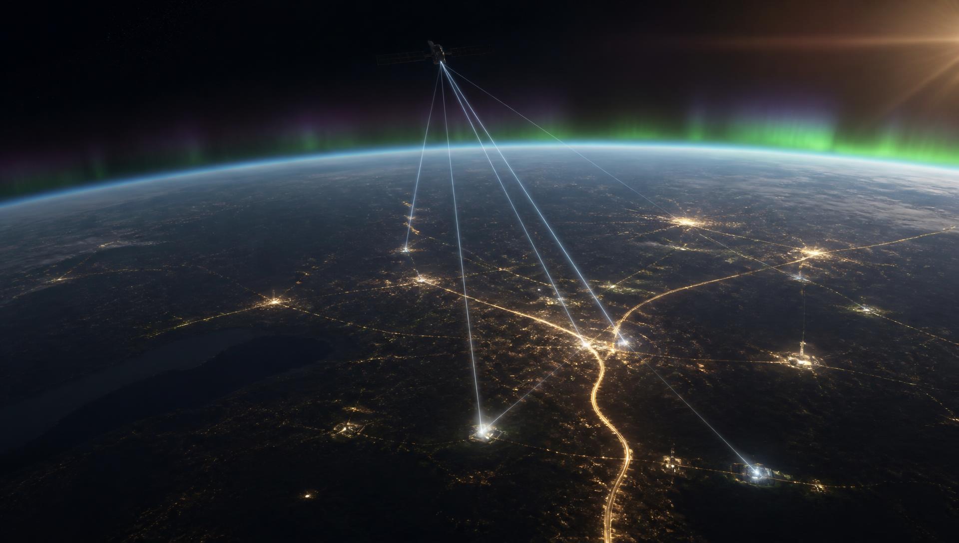
Solar Cycle 25 is producing periods of heightened solar activity capable of disturbing the ionosphere through which GNSS signals travel.
The result can be degraded accuracy, slower convergence, cycle slips, loss of signal tracking and disruption to precision-dependent field operations.
This 90-minute educational briefing examines what is happening above us, what it can mean on the ground and how organizations can build more resilient positioning strategies.
The Invisible Risk
The invisible risk above your field operations
- SUN
- SOLAR ACTIVITY
- IONOSPHERIC DISTURBANCE
- GNSS SIGNAL DEGRADATION
- POSITIONING UNCERTAINTY
- OPERATIONAL CONSEQUENCES
Sun → Ionosphere → GNSS Signal → Field Operation
GNSS signals travel more than 20,000 kilometers from satellites to receivers on Earth.
The final portion of that journey passes through the ionosphere—an electrically charged region of the upper atmosphere that can become significantly disturbed during periods of heightened solar activity.
For high-accuracy positioning, seemingly small changes in signal propagation can have very real consequences on the ground.
Normal conditions
Stable propagation, predictable convergence, dependable RTK fixes.
Disturbed ionosphere
Scintillation, delays, cycle slips, dropped fixes and slower reconvergence.
Agenda
90-Minute Program
00–10 Minutes
Why Solar Cycle 25 Matters Now
A plain-English introduction to the solar cycle and why positioning professionals should care.
- Solar maximum
- Solar flares
- Coronal mass ejections
- Geomagnetic storms
- The ionosphere
- Why GNSS is affected
Executive question: Could space weather become an operational risk for your organization?
10–25 Minutes
What Actually Happens to GNSS?
The mechanics, without turning the session into a physics lecture.
- Total Electron Content
- Ionospheric scintillation
- Signal delays
- Carrier-phase cycle slips
- Loss of tracking
- RTK instability
- Position degradation
- Recovery and reconvergence
Animated satellite → ionosphere → receiver diagram, shown in normal conditions versus a disturbed ionosphere.
25–40 Minutes
What GNSS Disruption Looks Like in the Field
Positioning degradation isn't always an obvious GPS outage.
- Utility asset collection
- Surveying
- Construction staking
- Public works
- Transportation
- Water infrastructure
- Asset inventories
- Mobile mapping
- Emergency response
- Precision operations
Connecting crew-level symptoms to the workflows they interrupt.
40–52 Minutes
The Cost of Positioning Uncertainty
Moving the conversation from GNSS technology to organizational consequences.
- Lost productivity
- Bad data
- Rework
- Project risk
- Safety
The real cost of GNSS disruption isn't the loss of a satellite signal. It's the decisions made using an unreliable position.
52–68 Minutes
From GNSS Accuracy to GNSS Resilience
The conceptual centerpiece: accuracy, availability and integrity as three separate questions.
- Multi-constellation GNSS
- Multi-frequency GNSS
- Modern signal tracking
- RTK corrections
- Reference networks
- Alternative correction methods
- Quality indicators
- Field validation
- Connectivity planning
- Offline workflows
- Redundant positioning strategies
- Operational procedures
Vendor-neutral throughout.
68–80 Minutes
The GNSS Resilience Readiness Assessment
Transition from presentation to audience participation across six dimensions.
- GNSS Dependency
- Accuracy Requirements
- Correction Resilience
- Environmental Exposure
- Data Integrity & Verification
- Operational Continuity
Attendees receive an individualized GNSS Resilience Readiness Score and action report.
80–90 Minutes
Expert Discussion + Q&A
Open discussion with the panel.
- Are organizations becoming too dependent on GNSS?
- Where is the greatest hidden GNSS risk?
- How should agencies determine whether a position can be trusted?
- What should field crews do when accuracy unexpectedly deteriorates?
- How important are multi-frequency and multi-constellation capabilities?
- How should agencies think about corrections and connectivity?
- Should GNSS resilience become part of business-continuity planning?
- What will resilient positioning look like over the next five years?
In the field
Disruption rarely announces itself
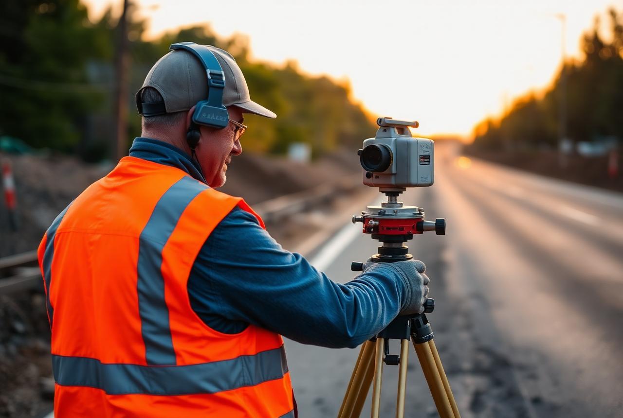
Positioning degradation isn't always an obvious GPS outage. A field crew may instead experience:
“The position won't fix.”
“Accuracy suddenly changed.”
“RTK keeps dropping.”
“The receiver is taking much longer.”
“Measurements don't agree.”
“We collected the data—but can we trust it?”
Organizational impact
The cost of positioning uncertainty
LOST PRODUCTIVITY
Crews wait, troubleshoot or repeat work.
BAD DATA
Questionable coordinates enter GIS and asset systems.
REWORK
Teams return to the field to verify measurements.
PROJECT RISK
Positioning uncertainty affects construction and infrastructure workflows.
SAFETY
Manual workarounds can place personnel in environments technology was intended to keep them out of.
The real cost of GNSS disruption isn't the loss of a satellite signal. It's the decisions made using an unreliable position.
The centerpiece
Accuracy is a specification.
Resilience is an operational capability.
ACCURACY
Is the position sufficiently accurate for the task?
AVAILABILITY
Can the required accuracy be obtained when and where crews need it?
INTEGRITY
Can the user determine whether the position should be trusted?
The resilience toolkit
- Multi-constellation GNSS
- Multi-frequency GNSS
- Modern signal tracking
- RTK corrections
- Reference networks
- Alternative correction methods
- Quality indicators
- Field validation
- Connectivity planning
- Offline workflows
- Redundant positioning strategies
- Operational procedures
Presented vendor-neutrally: the goal is an operating model, not a product list.
Interactive resource
How resilient are your field operations?
Assess your organization against six dimensions, then generate an individualized GNSS Resilience Readiness Score and action report.
Approximately 5 minutes. The assessment is open — only the personalized report requires your details.
- 01
GNSS Dependency
- 02
Accuracy Requirements
- 03
Correction Resilience
- 04
Environmental Exposure
- 05
Data Integrity & Verification
- 06
Operational Continuity
Who should attend
Built for the people accountable for the work
EXECUTIVE & OPERATIONS
- City/County Managers
- Public Works Directors
- Utility Directors
- Capital Projects Leaders
- Emergency Managers
ENGINEERING & GEOSPATIAL
- GIS Directors & Managers
- City/County Engineers
- Surveyors
- Geospatial Professionals
FIELD & INFRASTRUCTURE
- Field Operations Managers
- Transportation Departments
- Water/Wastewater Teams
- Utility Coordinators
- Construction Teams
Takeaways
What attendees will learn
- Why solar activity can affect GNSS positioning.
- How ionospheric disturbance manifests in real field operations.
- Which infrastructure workflows are most vulnerable.
- The difference between GNSS accuracy, availability and integrity.
- The technologies and operational practices that contribute to positioning resilience.
- How to assess their organization's current GNSS resilience.
Accurate positioning is only half the question.
Can your organization maintain confidence in its position when conditions aren't ideal?